Discover and read the best of Twitter Threads about #GOES17
Most recents (2)
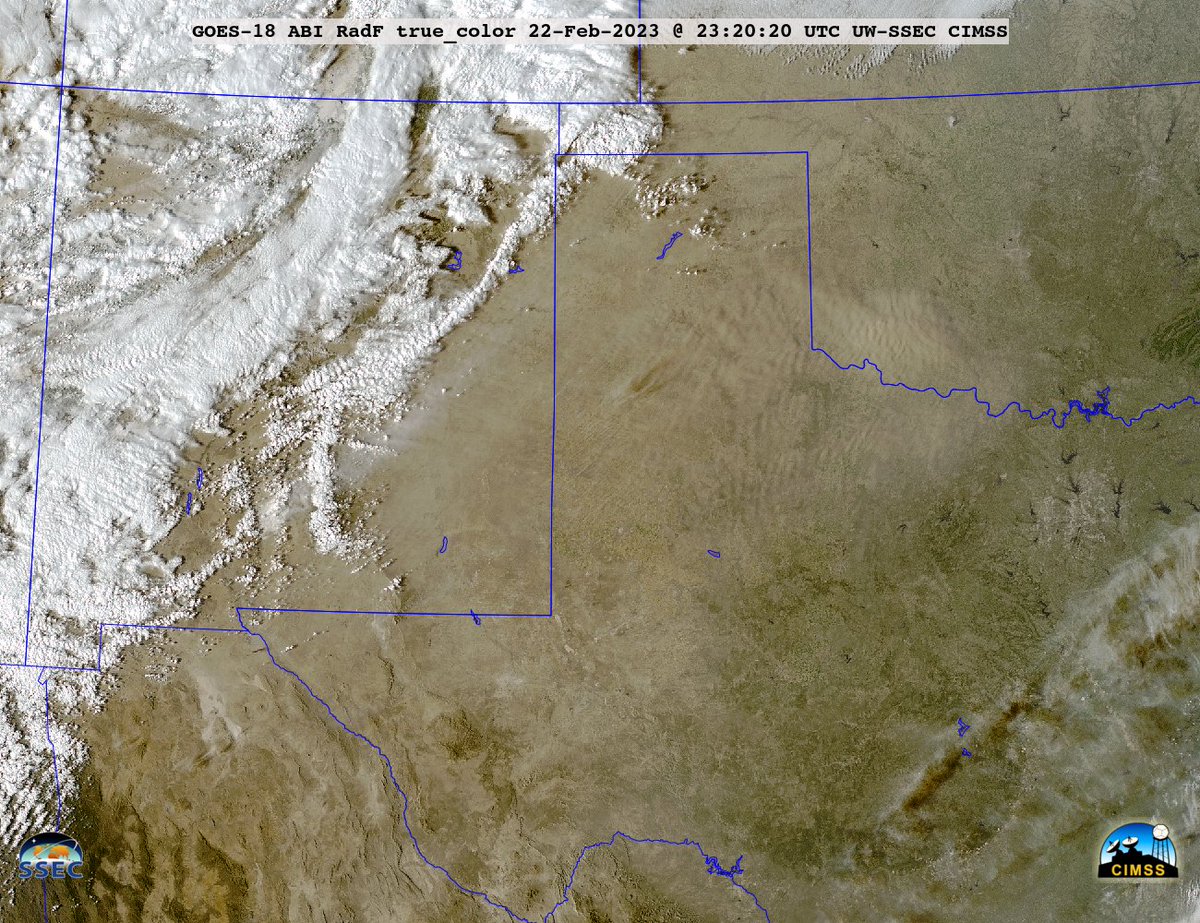
True Color RGB images from @NOAASatellites #GOES16/#GOESeast showed large plumes of blowing #dust across parts of New Mexico, Texas ad Oklahoma on 22 Feb: geosphere.ssec.wisc.edu/#playing:true;…; Note the brighter white plume originating from White Sands NM. #NMwx #TXwx #OKwx
...and here's a comparison of the blowing dust plumes as viewed using True Color RGB images from 3 satellites - @NOAASatellites #GOES18/#GOESwest, #GOES17 and #GOES16/#GOESeast: cimss.ssec.wisc.edu/satellite-blog… #NMwx #TXwx #OKwx 


This morning, evidence of the airborne dust (shades of tan) from NM/TX/OK could be seen in @NOAASatellites #GOES16/#GOESeast True Color RGB images over parts of #ILwx/#INwx/#OHwx/#MIwx/#KYwx: geosphere.ssec.wisc.edu/#playing:true;…;
@AFResearchLab #DSX operational behaviour is becoming clearer. Here one can see the mission is sending data and then abruptly stops as I started zooming in on the carrier. Wideband data 1st, zoom in and abrupt transition and then the zoom back out to note data gone... 


The signal to the right is #GOES17.

