Discover and read the best of Twitter Threads about #CFSEFI
Most recents (3)
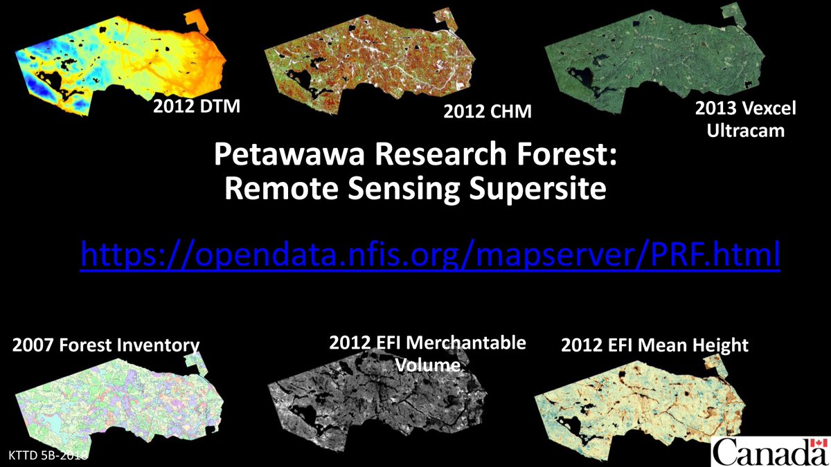
#Lidar is an operational technology for #forestinventory. Single-photon lidar (#SPL) may provide an acquisition advantage for large areas. How does #SPL perform in an area-based #forest inventory? Some things we have learned (i.e. a thread)!
#OpenAccess: bit.ly/37GTeZG
#OpenAccess: bit.ly/37GTeZG

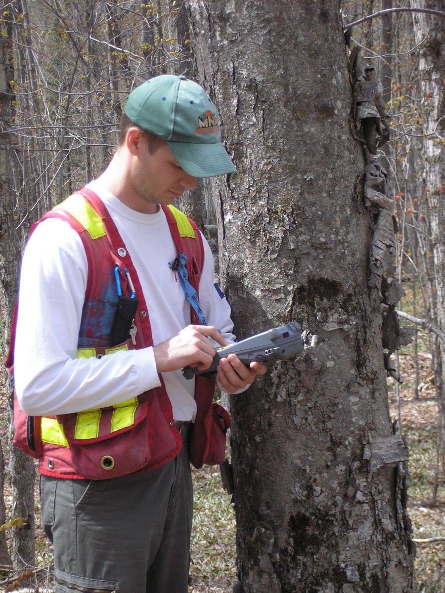
2/ We used #SPL and 269 field plots to generate an area-based operational #forestinventory over a 15000 ha study area of temperate mixedwood forest representing a complex assemblage of tree species, forest structures, and management histories. bit.ly/37GTeZG 


3/ We validated our #forestinventory estimates at the stand-level using independent field measured data. Why? Because the stand is the fundamental spatial unit for forest management and planning, and the unit at which decisions are made. #CFSEFI bit.ly/37GTeZG 


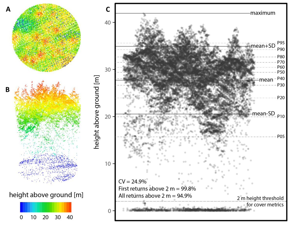
1/3 Interested in #lidar and enhanced #forestinventory? Here's everything you need to develop practical hands-on training materials & lab excercises, benchmark your algorithms, develop innovative solutions for the #forest sector, and support your research #CFSEFI #PRFSS #EOchat 

2/3 Included are #lidar data, contemporaneous field reference data, derived lidar predictors (point cloud metrics), EFI outputs (prediction rasters for volume, biomass, basal area, etc.), helpful guides, & software tools. All part of our #remotesensing #supersite #PRFSS #OpenData 


3/3
#Lidar: bit.ly/3b8pAgL
Field plots: bit.ly/3poQKFa
Predictors (metrics): bit.ly/2Zh4veE
EFI rasters: bit.ly/3jTTgm4
How-to guides: bit.ly/2S3IBFW; bit.ly/2Sc5ffD
Software tools: bit.ly/2LHA7ae
#OpenData #PRFSS
#Lidar: bit.ly/3b8pAgL
Field plots: bit.ly/3poQKFa
Predictors (metrics): bit.ly/2Zh4veE
EFI rasters: bit.ly/3jTTgm4
How-to guides: bit.ly/2S3IBFW; bit.ly/2Sc5ffD
Software tools: bit.ly/2LHA7ae
#OpenData #PRFSS
An increasingly common question: “We generated an enhanced forest inventory with #lidar data and ground plots for one of our management units. Can we use the same models for our other management areas?” #CFSEFI #forestinventory 
A great question and one that is top of mind for many of us who generate and use #forestinventory data. So what does the #science tell us about the transferability of area-based models? #CFSEFI 
Fekety et al. 2015: "Mapping response variables at the landscape level demonstrates that the relationship between field data and LiDAR metrics holds true even though the data were collected in different years."
Read: dx.doi.org/10.1139/cjfr-2…
Read: dx.doi.org/10.1139/cjfr-2…
