Discover and read the best of Twitter Threads about #WashburnFire
Most recents (7)
#WashburnFire (Yosemite NP) - From the community conference: the line around the Mariposa Grove & out to Hwy 41 is holding very well, still mopping up. 16 small spot fires were across Hwy 41 in the past few days & those are all contained & being mopped up.
#WashburnFire (Yosemite NP) - The Hwy 41 road system to Stud Horse Trail is looking very well. All of the sport fires to the north of the river are contained. There is less & less heat every day along the S-F-M-R on the western end of the fire.
#WashburnFire (Yosemite NP) - [Their internet turns to shit around here] still a lot of heat along the S-F-M-R on the eastern end of the fire. Inserted a crew via helicopter to a remote cabin in the Buck Creek area incase fire spreads that way, prepping around the structure.
It's wildfire season, which means all hands are on deck at @FresnoBee to cover the #WashburnFire growing in #Yosemite National Park. Get the latest on the size of the fire and containment info in my story here: fresnobee.com/news/californi…
And don't miss @TimSheehanNews's data-packed story of how the Washburn Fire compares to other recent California wildfires. fresnobee.com/news/californi…
Also, @FresnoBee has dropped the paywall for much of the Washburn Fire coverage to make sure local residents, as well as Yosemite visitors, have access to critical public safety information on this developing story.
#WashburnFire (Yosemite NP) - Last mapped at 3,516 acres by FIRIS - on map below, remains 22% contained. Not too much happening right now, a couple of copters are up over by Raymond Mountain. The spots across the river & Hwy 41 showed no more heat. Map > arcg.is/14HDCv0 


#WashburnFire (Yosemite NP) - Fire Watch 51 has located another 50x50ft spot 100ft across Hwy 41, says there is clear air above & they should be able to get it, ordering 2 copters for bucket work. The ridge east of Wawona Point continues to hold w/ all activity to the north.
#WashburnFire (Yosemite NP) - FW51 mapped the fire @ 3,717 acres just now. The spot fire across Hwy 41 in Div M is now approx 2 acres per radio traffic. There is also some spots well ahead of the main fire north of Raymond Mountain about a mile from Iron Creek.
#WashburnFire (Yosemite NP) - From the community meeting: the fire is not moving very quick, it is however burning very intensely due to the fuels. Fire has flanked along Hwy 41 & the spot fires across Hwy 41 have all been picked up & were small in nature.
#WashburnFire (Yosemite NP) - They have got hand/dozer line in along the Wawaona/Stud Horse Trail system down to the South Fork of the Merced River, no spots across it. They have some dozer line around the Wawona community along w/ sprinklers, hose & engines if the fire advances.
#WashburnFire (Yosemite NP) - The east side of the fire has been flanking along the slopes & making short up slope runs. 6 hot shot crews have been working east from Wawona Point towards the forest boundary & have line in there + retardant. That ridge is holding for now.
#WashburnFire (Yosemite NP) - 2,340 acres & 25% contained per @YosemiteFire. A community meeting will happen tonight @ 7pm, at the Community Center of Oakhurst, 39800 Fresno Flats Rd in Oakhurst. Also will be streamed on their Facebook @ facebook.com/YosemiteFire/ 


#WashburnFire (Yosemite NP) - Division M reporting multiple spot fires across Hwy 41 (western side of the fire). Most active spot is 50x50ft, pulling additional resources from other divisions for this. 


#WashburnFire (Yosemite NP) - FIRIS mapped the fire around 2,720 acres ~45 mins ago. Fire activity also increasing on the eastern side of the fire & it will bump the retardant lines (may be the ones running east-west from Wawona Point), ordering an Air Attack back to the fire. 

#WashburnFire (Yosemite NP) - Last mapped a few hours ago @ 1,821 acres. Just now looking to get HelCo back to the fire to assess whether copters can resume work (no copters or tankers due to visibility right now). Map via #FireMappers: arcg.is/0bK9LT 


#WashburnFire (Yosemite NP) - There is a ridge they want to paint w/ retardant (possibly the one running east-west from yesterday near Wawona Point) & the air looks clear enough for it per the HelCo, ordering an Air Attack + lead plane back to the fire to confirm.
#WashburnFire (Yosemite NP) - Air Attack requesting 3 large air tankers & 1 VLAT back to the fire, they'll be painting this ridge below in blue, which was also partially done yesterday until visibility shut it down. 


#WashburnFire (Yosemite NP) - Last mapped a couple of hours ago @ ~1,120 acres w/ 25 acre spot fire. Visibility is an issue today but lesser activity showing, only copters up for now & it looks like they're working the S/W side near Mariposa Grove Rd. share.watchduty.org/incident/606 


#WashburnFire (Yosemite NP) - Perimeter now viewable on #FireMappers now (thanks @KeithJGw), includes that ~25 acre spot to the N/E, totaling just under 1,200 acres. Looks like the majority of the smaller spots are all part of the main fire now. Link > arcg.is/arKj5 


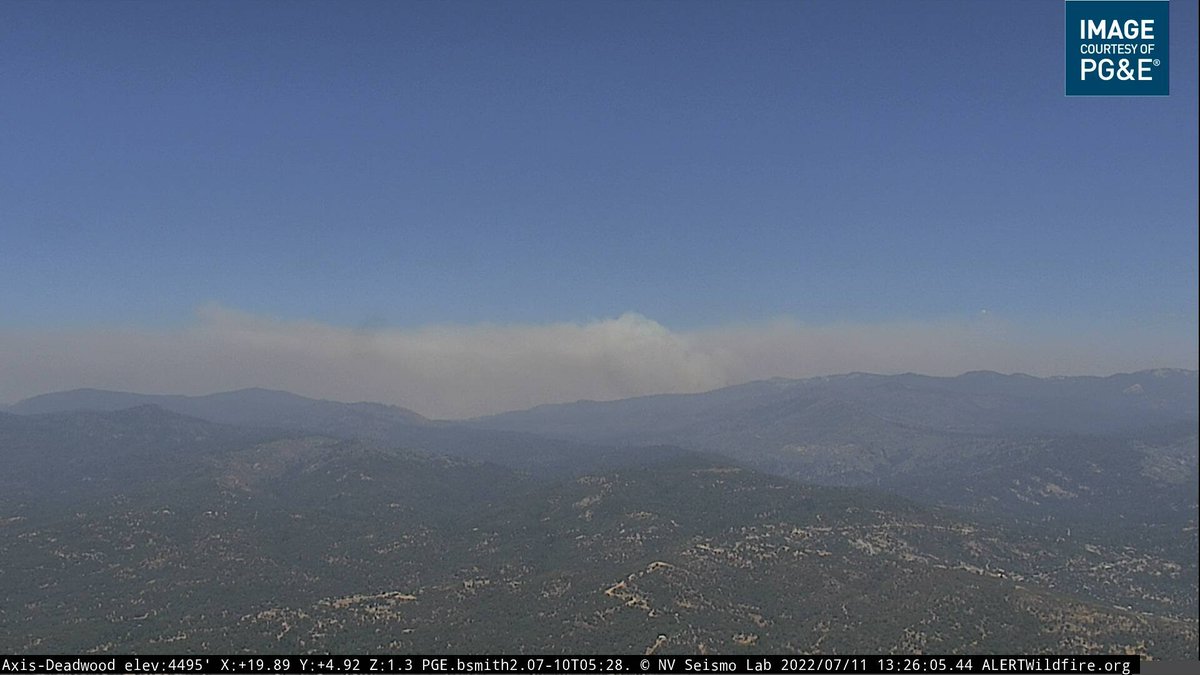
#WashburnFire (Yosemite NP) - Increasing fire activity & fire burning up slope to the east of Wawona Point on the ridge w/ the radio antennas, w/ likelihood of throwing additional spot fires out in front per radio traffic. 

