Discover and read the best of Twitter Threads about #AugustComplexFire
Most recents (1)
#CAFires2020 Tues Thread
My Sources
My main go-to map - has many layers of info
bit.ly/3l9aziW
#FireMappers
CA Road Conditions: quickmap.dot.ca.gov
Map of temp. shelters: bit.ly/3i3vjHd
Help with Critters: @halterproject
/1
My Sources
My main go-to map - has many layers of info
bit.ly/3l9aziW
#FireMappers
CA Road Conditions: quickmap.dot.ca.gov
Map of temp. shelters: bit.ly/3i3vjHd
Help with Critters: @halterproject
/1
#CAFires2020 Tues Thread
My Sources cont.
(not all) CA Counties EVAC Maps:
bit.ly/2D249B3
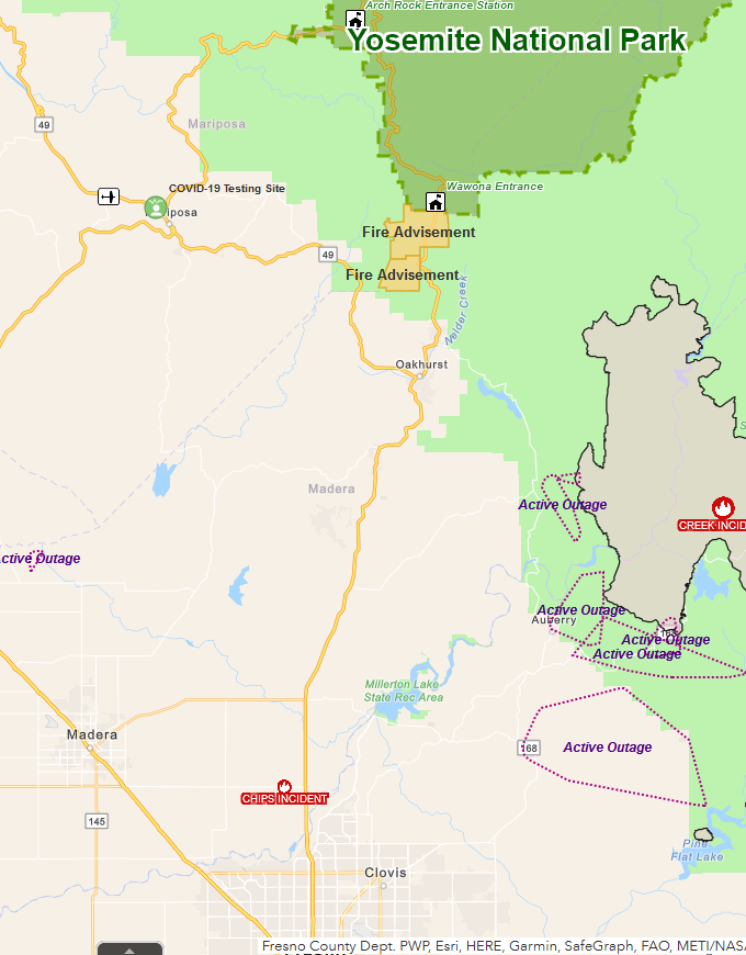
Mariposa Co is also covering for #CreekFire
bit.ly/3bzXVVO
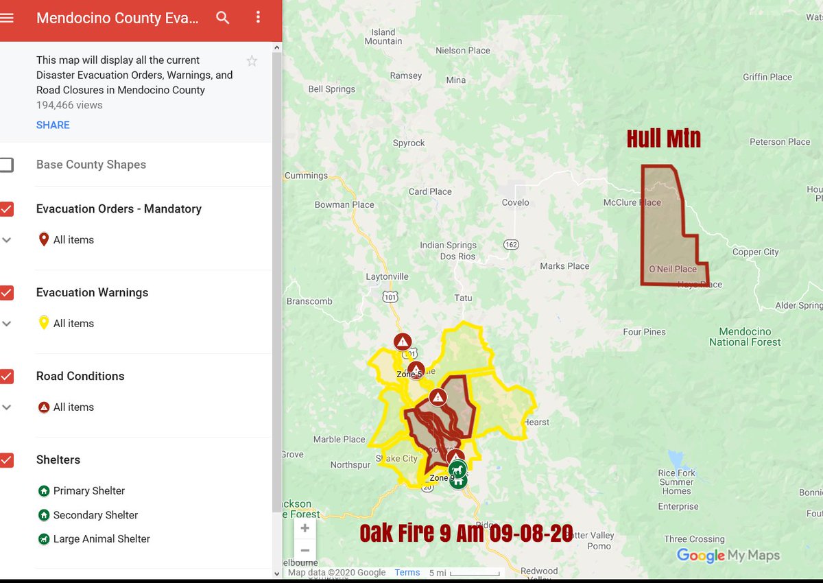
Mendo EVAC map
tinyurl.com/MendoEvac
Live cams: alertwildfire.org
/2

My Sources cont.
(not all) CA Counties EVAC Maps:
bit.ly/2D249B3
Mariposa Co is also covering for #CreekFire
bit.ly/3bzXVVO
Mendo EVAC map
tinyurl.com/MendoEvac
Live cams: alertwildfire.org
/2


#CAFires2020 Tues Thread
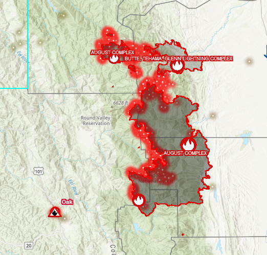
#AugustComplexFire - Shasta-Tehama-Glenn-Mendo-Lake Co.s
MAP: bit.ly/3gzPtqt
#FireMappers
Tehama Co EVAC map: bit.ly/2D249B3
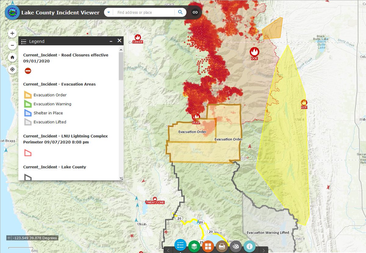
Lake Co. EVAC Map: bit.ly/3jeurzk
/3

#AugustComplexFire - Shasta-Tehama-Glenn-Mendo-Lake Co.s
MAP: bit.ly/3gzPtqt
#FireMappers
Tehama Co EVAC map: bit.ly/2D249B3
Lake Co. EVAC Map: bit.ly/3jeurzk
/3


